Green Map System's NYC Project

Charting the ever-changing environment of New York City since 1992!

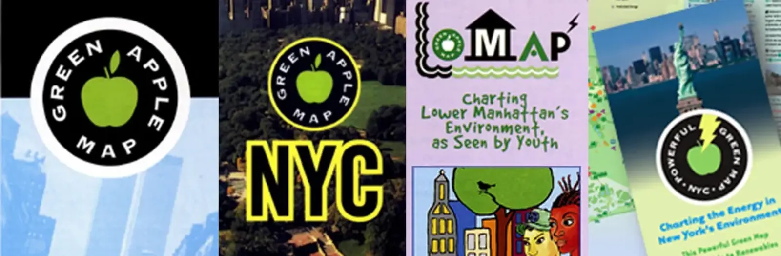
The global Green Map System was initiated in 1995 in response to the enthusiasm sparked by the first Green Apple Map of NYC, originally published in 1992 to showcase signs of progress toward sustainability. The NYC project is the sole local project led by Green Map System, and it benefits New Yorkers and the worldwide network by piloting new concepts and mapmaking resources.

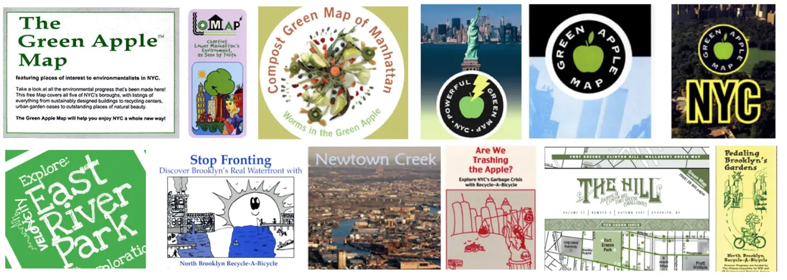
Over the last 25 years, we have created several comprehensive citywide editions in print and online formats, as seen at GreenMapNYC.org. Our theme Green Map on energy - charting conservation, renewables and climate change, waste reduction for youth, composting in Manhattan, cooling off and the youth-authored LoMap of Lower Manhattan. Each of these maps was created to meet a different set of objectives, but all are designed to engage 8 million New Yorkers and thousands of visitors in Greening the Apple as they shop, dine, commute, learn, work and relax.

In 2020, while NYC was still on pause, we created a new set of  Recovery Icons and worked to rethink our community's future, in collaboration with networks, near and far. We have already broadened our work, adding place making to our map making. We have also created cycling and walking tours, presentations, exhibits, workshops and education modules to involve more New Yorkers in building a brighter future together. Through the Green Map NYC project, we have worked with numerous partnering organizations, universities and agencies, and with local schools, youth, social clubs and community groups creating their own Green Maps since 1998. Several of the children’s projects have had real world impacts, and given the young mapmakers a meaningful voice in local sustainable development.

Our city is constantly changing, and we'd be glad to help you start a new NYC Green Map in your neighborhood. Or, help expand and update what we have started - reach out at apple @ greenmap.org 
members

Wendy Brawer

Green Map NYC

Bogdan Szabo

Green Map System

maps

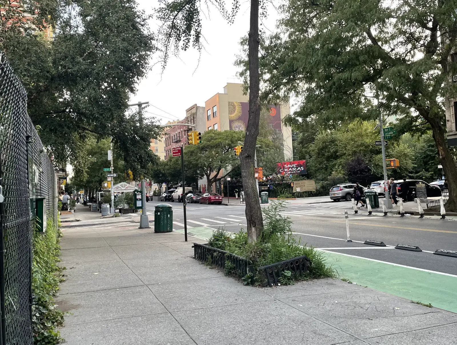
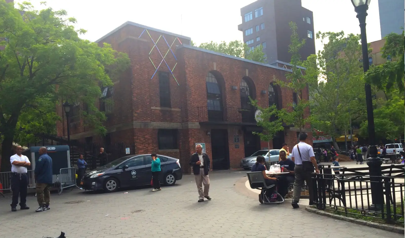
You can help map this emerging corridor including its culture, visual arts, music, architecture, gardens and foodways along Avenue C in Manhattan's East Village!¡Puedes ayudar a mapear este corredor emergente, incluyendo su cultura, artes visuales, música, arquitectura, jardines y gastronomía a lo largo de la Avenida C en el East Village de Manhattan!

In 2024, join us in creating a fresh perspective on food production, education and enterprise starting in lower Manhattan and eventually, all of  NYC.

Green Map NYC

Charting the ever-changing environment of New York City!

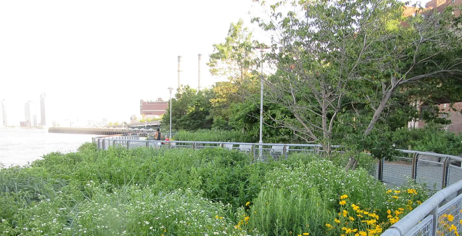
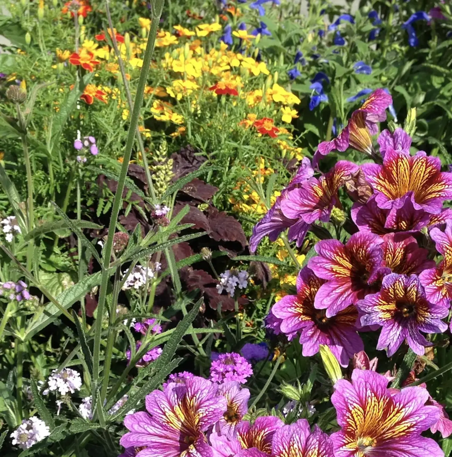
Stuy Cove has been a unique urban garden for 20 years, but now it's being dispersed to the community to make way for the East Side Coastal Resilience plan.  It's Manhattan's only edible food forest, uses permaculture principles and it is almost all Native Plants. The many different kinds of plants will soon be replanted - this map will show you where. Stuyvesant Cove was started by knowledgeable volunteers to support wildlife and is now run by Solar One - it has provided sustenance for thousands of birds, millions of insects and some lucky human foragers.  Read more about it here - it's hard to imagine how many times this verdant place has surprised, delighted, educated, generated new understandings and engaged people. Share this map at bit.ly/scplantmap - Add your site suggestions - bit.ly/SCplants

Created for a mapping workshop at the 2023 GreenThumb Grow Together in NYC. 

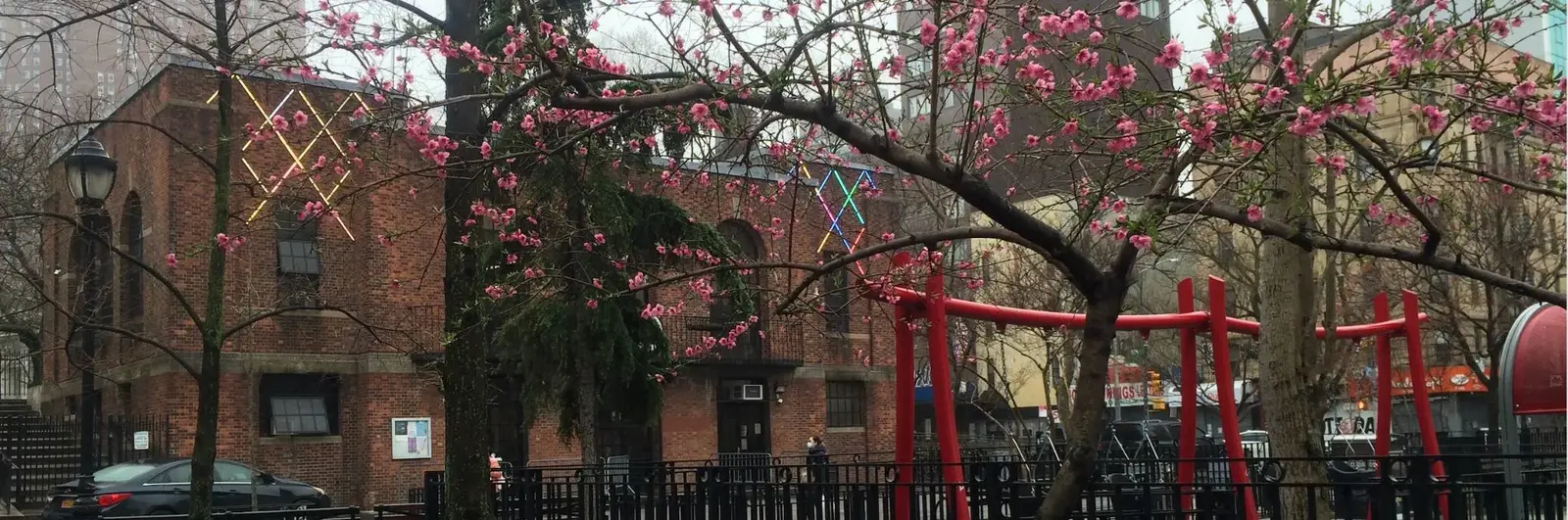
A historic and multi-cultural community, the Lower East Side is known for its resiliency, creativity and community spirit. Hard hit by the Pandemic of 2020, diverse participants from many backgrounds have come together to help meet urgent needs and plan for the future of this frontline community.

A linear city park, 6 blocks long, with recreation, relaxation, regeneration and resiliency. The active community garden has a wonderful website about the park, which is a beacon to this diverse community. Public restrooms at Stanton and Hester streets.This park has many issues, some of which are described in this recent New York Times article -  in 2023, fresh attention is being paid to this community resource.

surveys

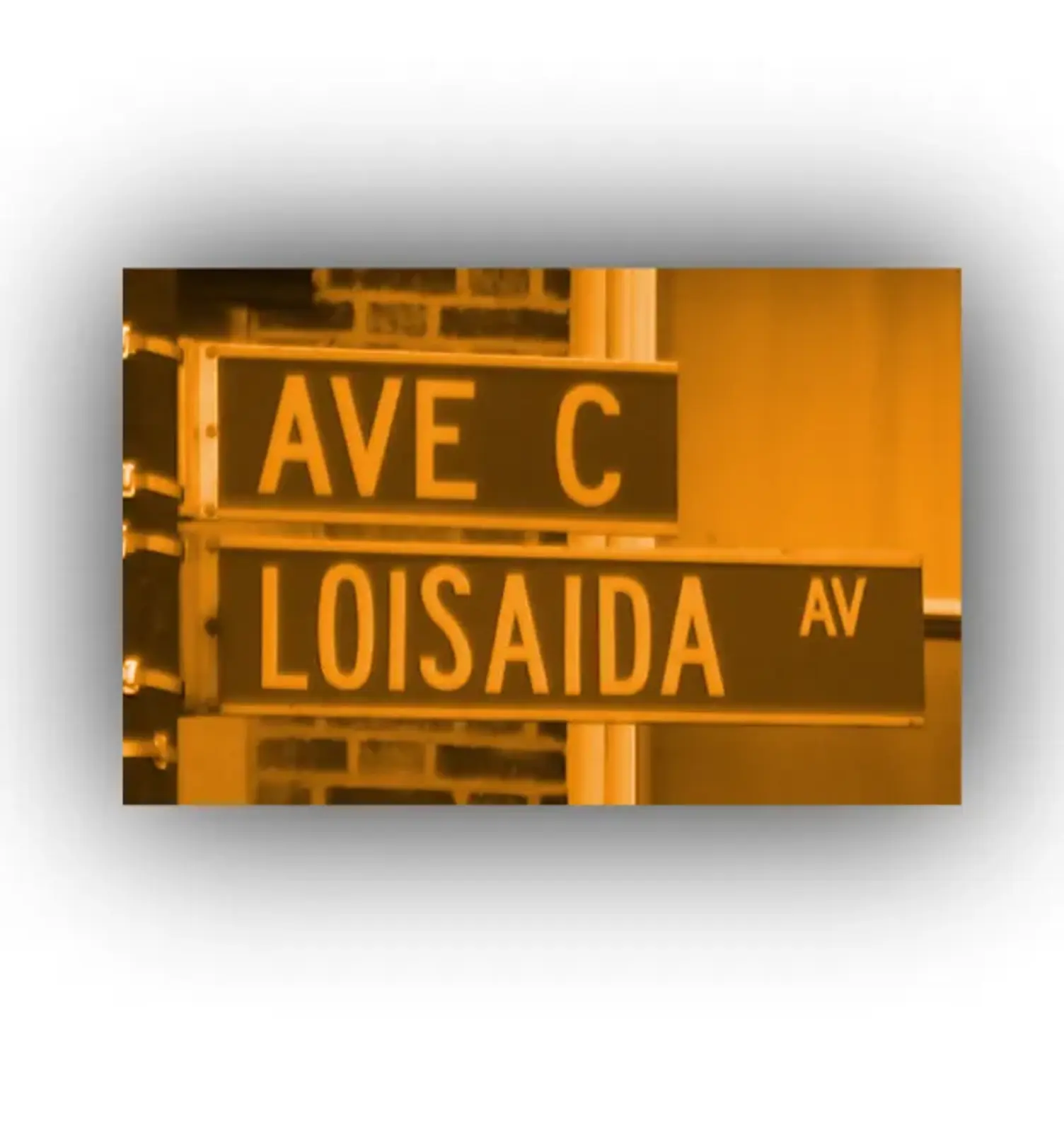
An iconic street in Manhattan's East Village is growing into a cultural corridor. Arts and culture, foodways and gardens! Add your suggestions along or within a block of Avenue C, which is also known as Loisaida  Avenue. Una calle emblemática del East Village de Manhattan se está convirtiendo en un corredor cultural. ¡Arte y cultura, gastronomía y jardines! Agregue sus sugerencias a lo largo o dentro de una cuadra de Avenue C, que también se conoce como Loisaida Avenue.Share the map / Comparte el mapa AvenueC.greenmap.org

Share your local farm, food and climate-smart spots. Let's create a FarmNYC Green Map together - see it at bit.ly/farmNYC

We're mapping gardens at the 2023 GreenThumb Grow Together!  See the map at bit.ly/GTGT23map

As it nears the 20 year mark, Stuyvesant Cove's lovely native plants are moving  to community spaces. Add the new location for the plants you took, share a photo and a few words

- 00:00/00:00
- 00:00/00:00
[16, 6, 1, 6]
[]
[]
[]
[]
[]
[]
[]
[]
[10, 6]
[10, 10]
[10, 20]
[10, 30]
[]
[]
[]
[]
[]
[]
[]
[]
[]
[]
[]
[]
[]
[]
[]
[]