Campbeltown Biodiversity Project 2024

Kintyre Biodiversity Blitz: Mapping Our Natural Treasures

SKDT - Campbeltown Biodiversity Survey 2024

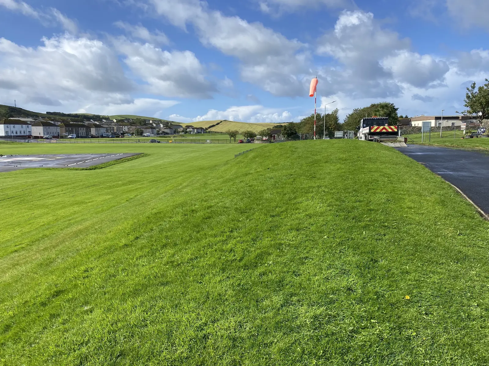
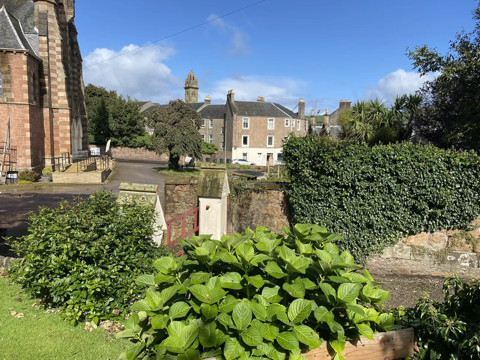
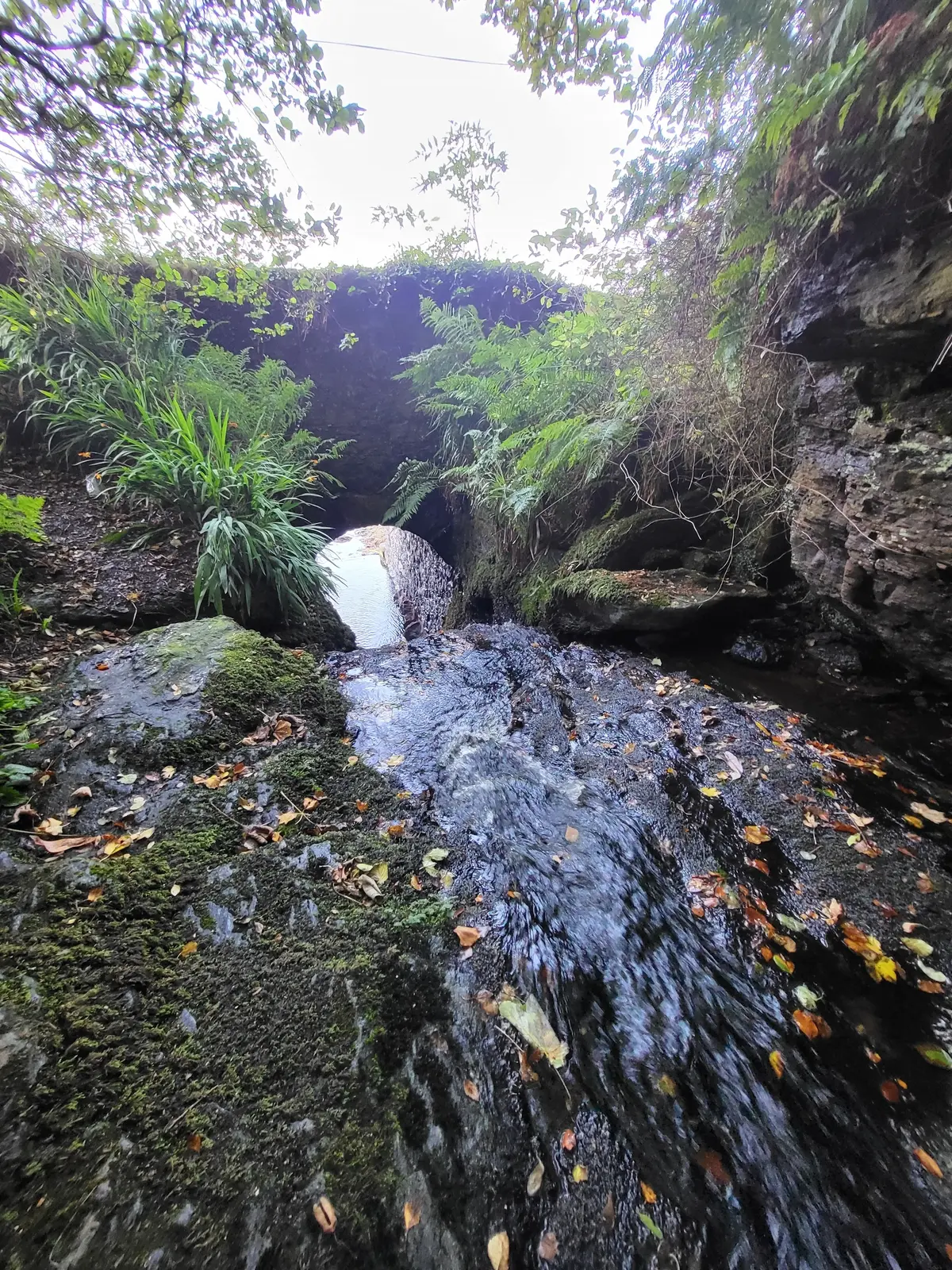
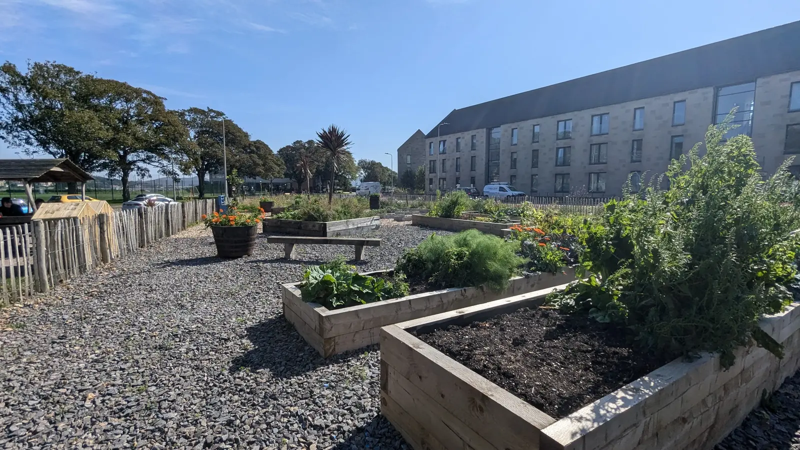
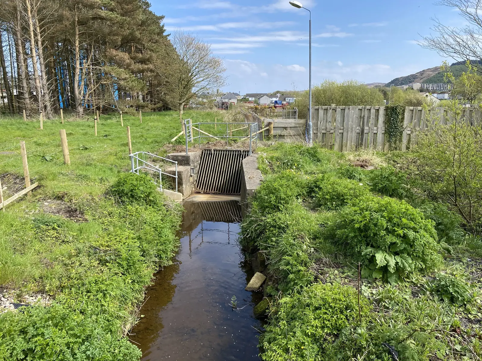
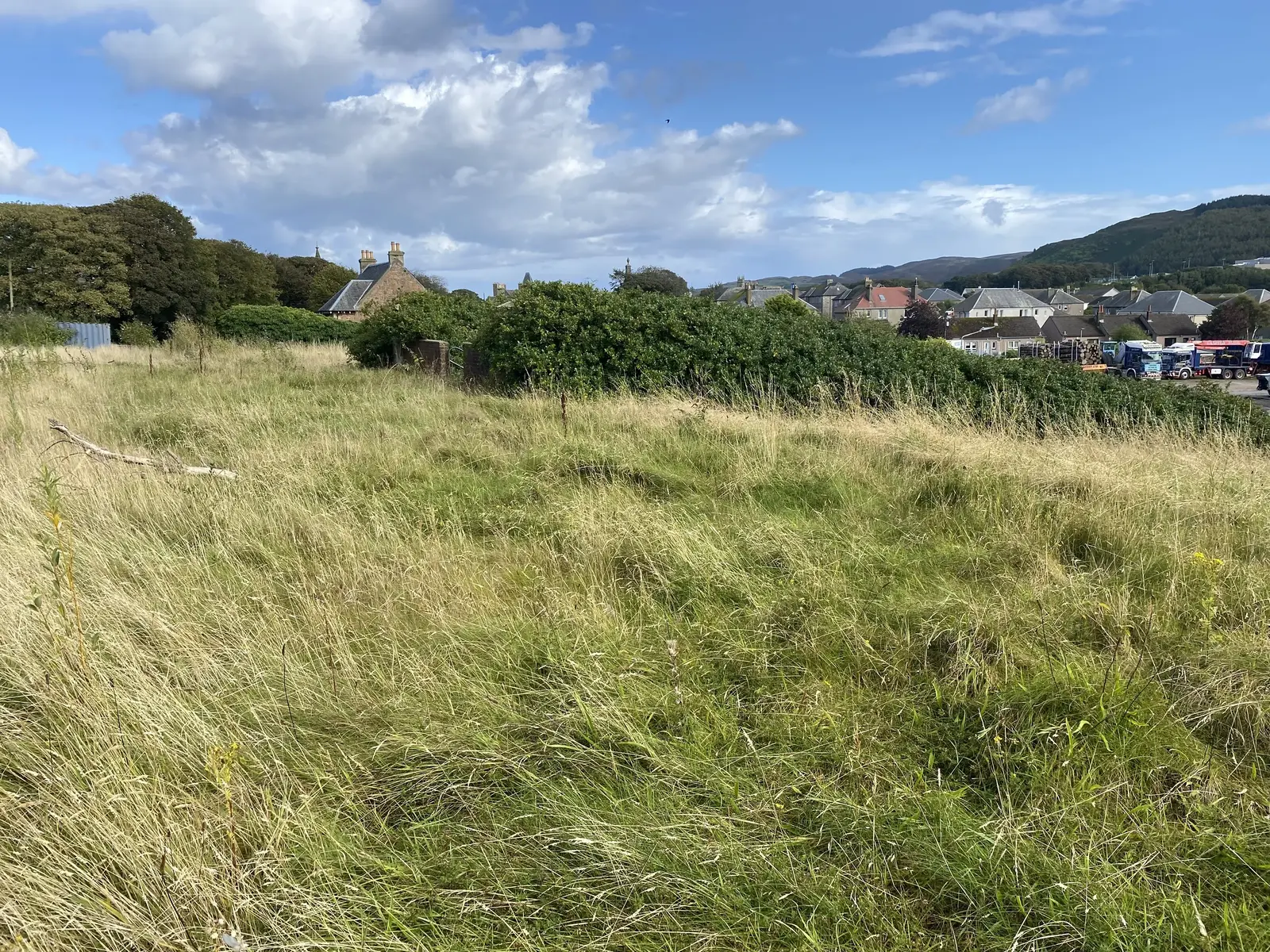
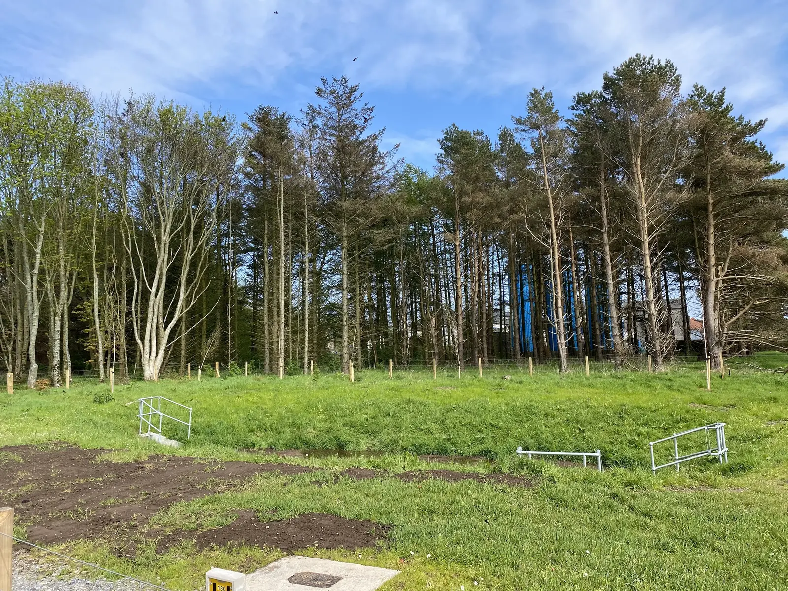
Join South Kintyre Development Trust in uncovering and celebrating the rich tapestry of life in Kintyre! Our Green Map Biodiversity Survey invites you to become a citizen scientist, helping to document the diverse plants, animals, and habitats that make our peninsula unique.

What to look out for:

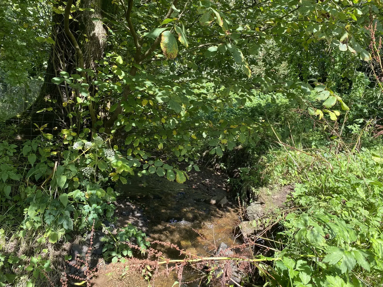
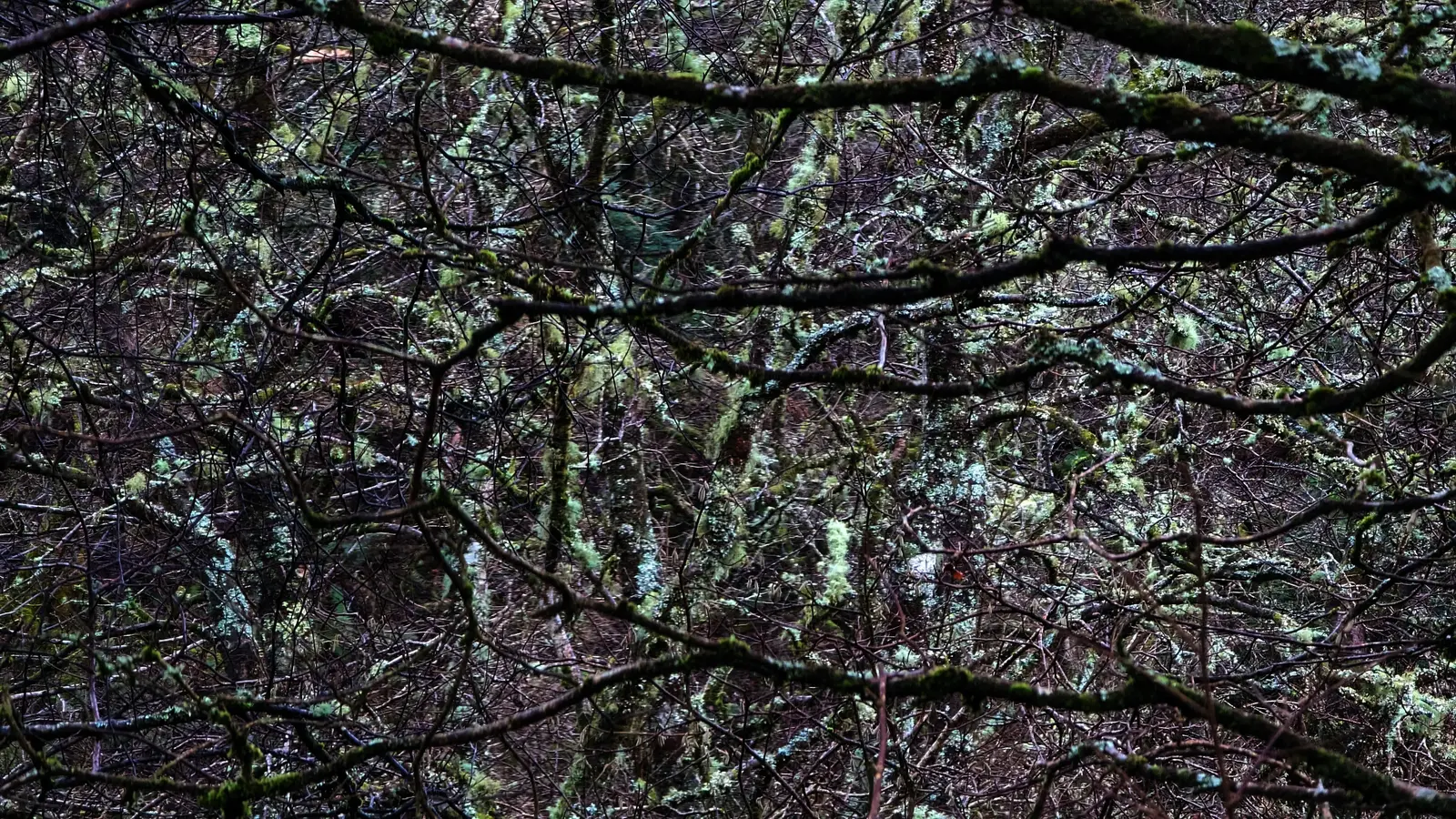
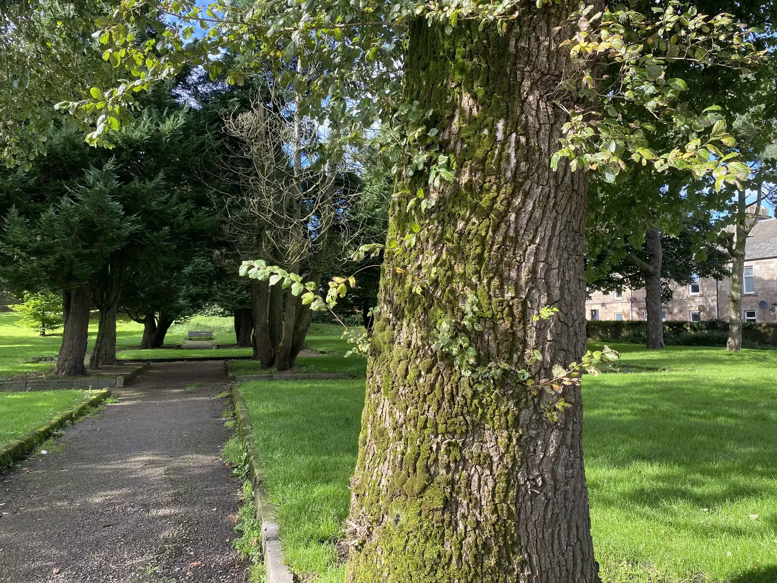
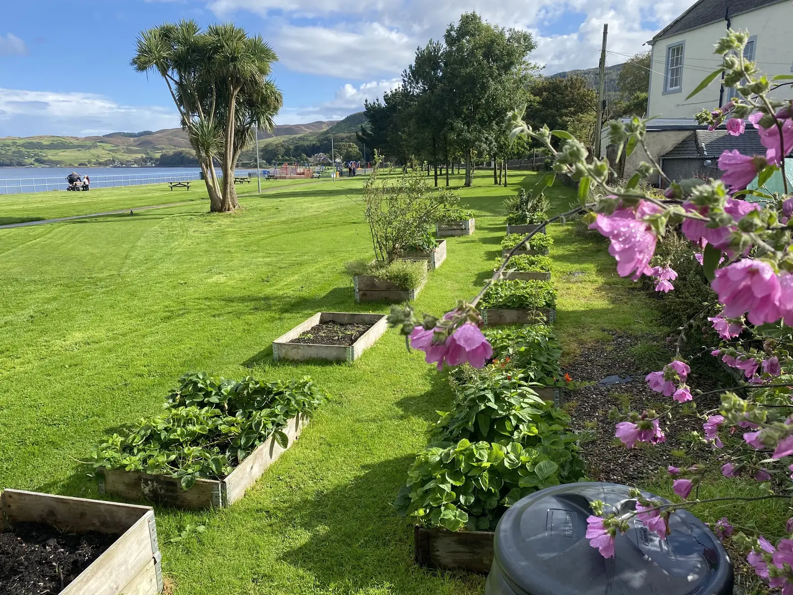
  • Native plants and flowers
  • Local wildlife, from birds to insects
  • Unique habitats and ecosystems
  • Areas of ecological importance or concern

Your observations will help:

  • Create a comprehensive map of Kintyre's biodiversity
  • Identify areas for conservation and enhancement
  • Raise awareness about our local natural heritage
  • Inform future environmental policies and initiatives

No expertise needed – just curiosity and a love for nature! We'll provide simple tools and guidance to help you record and share your findings.

Together, let's put Kintyre's biodiversity on the map and take steps to protect and nurture our natural world for generations to come.

SKDT - Campbeltown Biodiversity Survey 2024

South Kintyre Development Trust's Green Maps: Where Action Meets Vision

Facebook - South Kintyre Development Trust 

https://www.skdt.org/

For further information please contact Ed Tyler at ed.tyler@skdt.org or call us on 01586 552870

Apple Green Map Application download

Balegreggan
Native Forest or Plants

Glen

Cleaned-up or Rebuilt Site

It has already been suggested that this would make a good community garden.

Cutting Wood
Natural Corridor or Greenway

Part of old Limecraigs Estate, owned by the Duke of Argyll. An estate house on a nearby site has been there for at least 250 years. Big estate owners had what are known as "policy" woods around their property and this wood is probably a remnant of this. Its most important wildlife features are its wych elms, including a line of them which seems to have been planted to screen the wood from the railway line. Recommendation: core area to be mapped as part of Campbeltown Elm project.

Dalintober Beach
Water Feature
Waterfront or Riverside Park
Sailing or Row Boat Launch
Scenic Vista
Canoe or Kayak Site
Public Space or Square
Star Gazing Site
Sunrise or Sunset Site
Significant Habitat
Migration Zone
Bird and Wildlife Watching
Aquatic Habitat
Amphibian Habitat
Coastal Habitat

Easily accessible beach. Coastal habitat excellent for education and leisure. Part of Campbeltown loch, a richly biodiverse area.

Elm project
Public Forest or Natural Area

There are elms all over the town, many of them in small copses and on banks which together form several rookeries (at one point around 700 nests have been recorded). These elms are likely to be Wych Elm, a species of elm found only in Scotland and the north of England. They were widely planted as specimen trees and to form policy woods (see the Cutting), shelter belts and "hanging" woods on steep banks which were not suitable for agriculture.

Helipad zone
Natural Corridor or Greenway
Future Redevelopment Space

Potential with neighbouring Hospital for hedgerow establishment, plus individual standard trees, to make a wildlife corridor.

Heritage Centre Garden
Garden
Wildlife Habitat

Grounds of Heritage Centre. Excellent for hedgehogs which move between private gardens and centre grounds

Hospital landscaping
Natural Corridor or Greenway
Future Redevelopment Space

Potential with neighbouring helipad for hedgerow establishment, plus individual standard trees, to make a wildlife corridor.

Kintyre House
Wildlife Habitat
Shaded Boulevard

This site is already great for wildlife with mature shelter belts planted in the mounds (they were probably created when the call centre was constructed ).

Special Tree
Native Forest or Plants
Significant Habitat
Scenic Vista
Public Forest or Natural Area
Natural Corridor or Greenway
Regenerative Landscape
Future Redevelopment Space
Wetlands
Water Feature
Shaded Boulevard
Waterfront or Riverside Park
Geological Feature
Cleaned-up or Rebuilt Site
Protected or Cultivated Habitat
Migration Zone
Wildlife Habitat
Coastal Habitat
Bird and Wildlife Watching
Habitat at Risk
Climate Changed Area
Deforestation
Scientific Research Site
Disaster Area
Vulnerable Site
Contaminated Site
Waste Dump
Mining Site
Water Pollution Source
Special Site
Volunteer Site
SDG 13 - Climate Action
SDG 14 - Life Below Water
SDG 15 - Life on Land
Protected / Restored Habitat

Kintyre Rainforest Alliance - Facebook

Kirkland Park
Shaded Boulevard
Public Forest or Natural Area
Bird and Wildlife Watching

A small formal park with mature trees, frequented by hedgehogs.

Wetlands

This large area, which includes the helipad as well as the playing fields, is bounded on one side by the Witch burn, which is liable to flood, hence the three ponds which have been created as part of the flood protection scheme.

Putting Green Garden
Community Garden
Volunteer Site
Edible Landscape
Healthy Soil
Child Friendly Site
Herb Garden / Medicinal Plants
Vegetables Growing Here / Raised Beds
Organic or Local Food
Insect Watching Site
Scenic Vista
Park or Recreation Area
Food Gathering Site
Eco Landscaping
Pedestrian Friendly

Campbeltown Putting Green is operated by SKDT under licence from Argyll & Bute Council. It is normally open during the summer months (Mar - Sept) and is much loved by locals and visitors alike. Alongside the Putticg Green " Club House" there is small community garden designed for children and consisting mostly of fruit shrubs and herbs. 

Rocky Burn
Native Forest or Plants

A native woodland surrounding a small north-facing ravine with high levels of humidity. Recommendation. Survey the site for rainforest species.

The Cutting
Native Forest or Plants

Grounds of Heritage Centre. Excellent for hedgehogs which move between private gardens and centre grounds.

The Gateway Garden
Community Garden
Volunteer Site
Cleaned-up or Rebuilt Site
Edible Landscape
Food Gathering Site
Eco Expert
Organic or Local Food
Picnic Spot or Healthy Dining
You-pick
No Spray Zone
Herb Garden / Medicinal Plants
Vegetables Growing Here / Raised Beds
Child Friendly Site
Allotment Garden
Greenhouse
Composting Site
Natural Corridor or Greenway
Environmental Education
Eco Landscaping
Organic or Local Food
Spring Blossoms
Special Site
Public Space / Square
Composting Site
Low Carbon / Carbon Sink
Pollinator Garden / Botanical Garden
Healthy Soil
Eco Agriculture or Permaculture
Native Plants / Food Forest

This new community garden was established in early 2024 on site of an old garden, established on derelict land once occupied by housing. Thisd garden includes raised beds (including wheelchair accessible ones), tea shed, toolstore, herb and bee nectar/pollen plantings, wildflower meadows, bug hotel, compost heaps, hedge. Volunteers welcome. Some beds managed by local groups, others by volunteers. including local schools and nurseries, mental health groups and other community groups.

Witch Burn
Water Feature

Extended corridor area consisting of the burn itself, ponds, copses, individual trees, recreation area and helipad. Already acts as a wildlife corridor which could be enhanced by wetland planting, conversion of grass areas into wildflower meadows and planting of hedges and individual trees, possibly a small woodland.

Witchburn Garden
Cleaned-up or Rebuilt Site

An ideal site for another community garden. South facing slope away from road.

Witchburn pinewood
Public Forest or Natural Area

A copse planted with even-aged Scots Pine. Recommendation: Survey with a view to possibly carry out selective felling to open up the canopy and to introduce a wider range of tree species.

- 00:00/00:00
- 00:00/00:00
[16, 6, 1, 6]
[]
[]
[]
[]
[]
[]
[]
[]
[10, 6]
[10, 10]
[10, 20]
[10, 30]
[]
[]
[]
[]
[]
[]
[]
[]
[]
[]
[]
[]
[]
[]
[]
[]