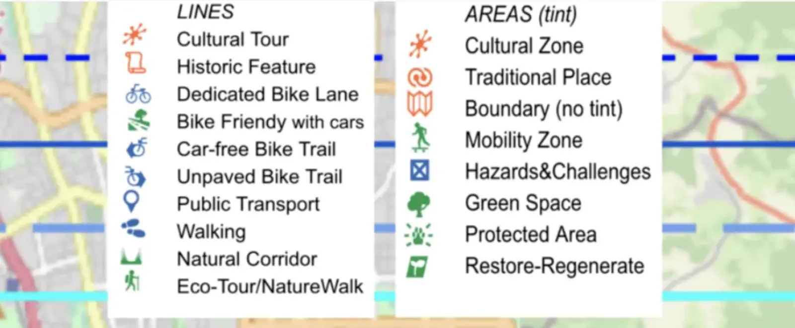
It's so exciting to be able to share that we have now enabled Lines and Areas on our new mapping platform in development (get details on the options). You can use any of these icons to show routes, lanes, trails, etc or zones and areas , as well as points to feature places on your Green Map.
The best place to learn how to use the Lines and Areas is in our Quick Start Guide
Your comments welcome. More about new geometry and other features (and demo events) can be found at GreenMap.org/stories/ogm2.

