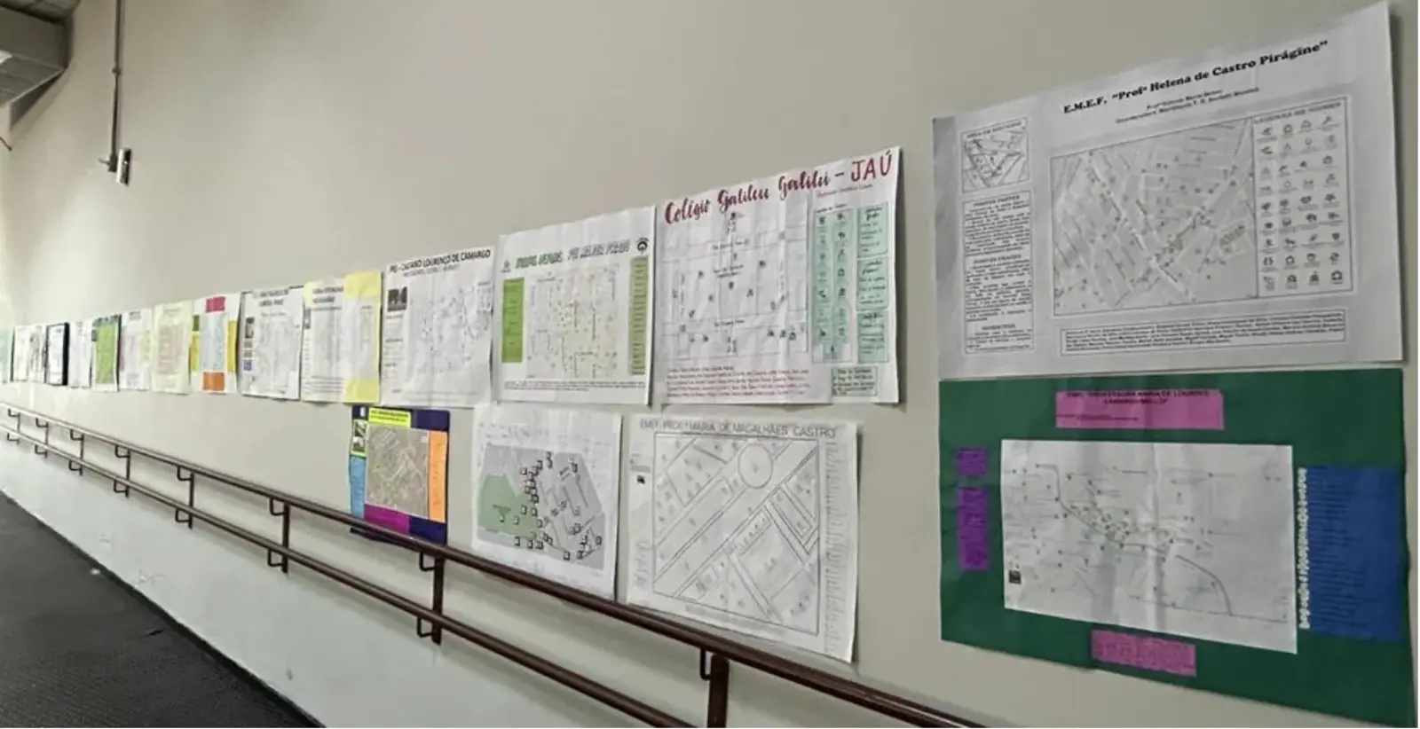
Recently, a social media post from Jahu Brazil caught our eye.
Their print Green Map was created twenty years ago. It became the basis of their master plan, using our adaptable tools to frame a vision of what is possible and to set new policies. Here is a report by Giovani Fabricio who works with the Secretary of the Environment of Jaú, which conducts hands-on environmental education.“
More than 50 schools in Jahu city, located in the countryside of São Paulo State, have resumed their Green Map production efforts. This is a significant initiative supported by Fatec University and the Jahu City Hall.” Here you can see their post: facebook.com/semeiajau
“We are working to produce a Green Map here in our city, integrating all schools from the city (private and public). The students went into the streets and mapped all the positive and negative points of each specific area. We organized a forum to integrate all the results from the schools. Now, we are creating a single map from all this information. This has been a huge project! All the schools were very excited!”

…During the event the students presented the mapping with data on socio-environmental issues collected by them while observing their school’s environment. Topics: solid waste; formal environmental education with topics related to water, urban forestry and biodiversity; soil; urban burning and forest fires.
The Green Map is one of the actions of the SEMEIAR JAHU Project, created in order to work on environmental perception and critical sense of children and adolescents, through self-mapped points with the support of the Green Map methodology.
Since 2003, the Green Map, urban and environmental planning instrument, has not been implemented in our municipality. Its development is a work of Semeia, with support from Fatec, Secretary of Education, Directorate of Education of the State of São Paulo and Instituto Pro-Terra.
Arborization, safety, accessibility, waste collection, cycle paths, transit, Rio Jaú, public sports and leisure spaces, health, conservation of historical and cultural spaces, public transport and revitalization of green areas, were recurring issues in the presented maps.
All data will be compiled, creating a document that will be delivered by the students to Mayor Ivan Cassaro. The map will serve as a planning tool for municipal administration.


